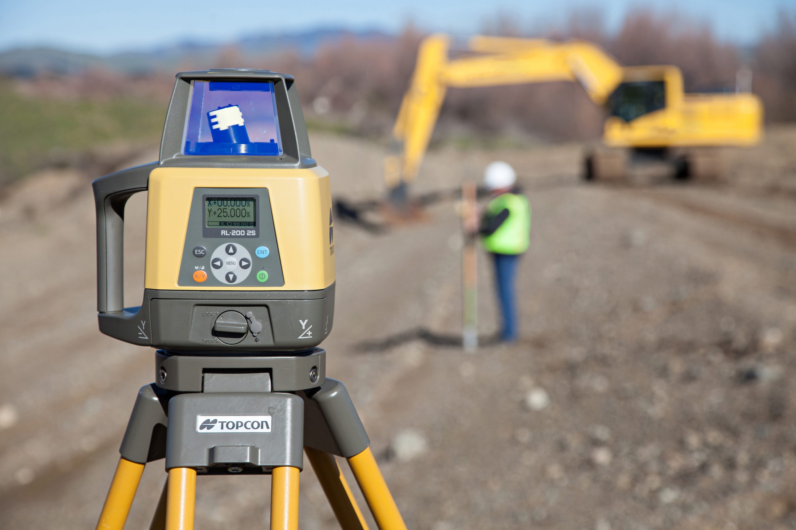
Breaking ground and moving dirt is one of the most exciting parts of a project lifecycle. A site that has been cleared, graded, and built to the specified engineered plans is one of the first steps to setting up a project for successful completion. As a site work or civil contractor, there are multiple tools, technologies, and equipment you may deploy to complete the job.
Dobbs Positioning Solutions offers industry leading Global Navigation Satellite Systems (GNSS), robotic total stations, mmGPS, and traditional laser systems from Topcon and John Deere for stakeout and machine applications. While dozers, excavators, and motor graders have long been used with machine control systems, new systems engineered for compact equipment as well as autonomous solutions from our partner Teleo are changing the way projects can be completed. Advanced monitoring and reporting ensure your teams are equipped to respond to project expectations and deadlines. Optimum efficiency, profitability, and safety are all increased with the use of our solutions.
Are you installing, repairing, or upgrading infrastructure? Dobbs Positioning Solutions offers products and systems specialized for utility applications. Maintain accuracy and efficiency on the project with Topcon’s rugged pipe lasers to ensure the correct elevation, alignment, and pitch for water and sewer line installations. GNSS systems offer efficient and accurate control for excavators in utility applications, including smaller machines which can be equipped with Topcon’s MC Mobile systems. You can utilize those same systems to measure and record as-built pipe as it goes in the ground.
For additional convenience, use Laser Manager by Topcon (a free mobile app) that allows you to display common laser functions directly on your mobile device. Download the app today:
Apple App Store Google Play
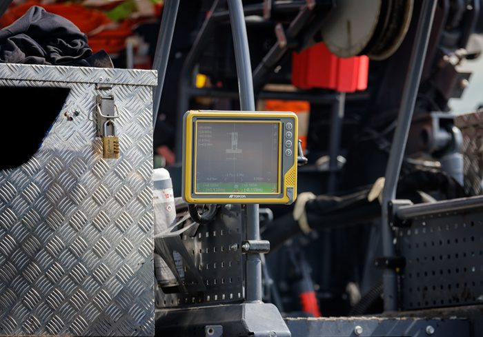
Dobbs Positioning Solutions offers many advantages to Road Building and Paving contractors. Several of the same products and systems used in Development and Sitework can be utilized for new road construction projects. Precise systems such as Topcon mmGPS and robotic total station for motor graders, milling machines, and pavers ensure base material control can be accurately used to your advantage. 2D paver systems, sonic trackers, and Sonic Averaging Systems (SAS) have been used for years now and are vital solutions for any Roadbuilder and Paving contractor.
Topcon’s Smoothride system and RD-M1 scanner leverage immense data collection on existing roads and “mill and fill” projects to maximize materials and correct slope problems to create new, smooth, and resilient road surfaces. Milling, paving and compaction could not get any easier with our available solutions. When you have tight project specifications that call for higher standards of smoothness, incorporate Topcon SmoothRide, Magnet Collage point cloud software, and Intelligent Compaction systems.
Our TimberMatic Maps™ and TimberManager™ software suite manufactured by John Deere is set to transform the way you manage your logging operations. This innovative map-based system for production planning and tracking lets supervisors, loggers, and operators share real-time updates on production and location, eliminating uncertainty from decision-making processes.
Our precision forestry technologies are available on most John Deere forestry equipment models. Ask our team about field installation for your swing machines, forwarders, skidders, and wheeled or tracked harvesters or feller bunchers.
Mining and aggregate production is a rapidly evolving sector whose products will always be in demand. Staying ahead of the curve is crucial for efficiency, safety, and profitability. Dobbs Positioning Solutions offers a range of products and technologies that can be designed to fit your needs. Advanced GNSS machine control systems from John Deere SmartGrade and Topcon can assist any operation with automatic machine control to ensure haul roads and site prep work can be accomplished accurately. Our Teleo autonomous systems for trucks, loaders, and dozers are revolutionizing the quarry and aggregate business as we tackle the well documented challenge of personnel shortages in our industry.

The fundamental start of every job begins with surveying. Our rugged GNSS instruments and robotic total stations are the preferred choice for capturing or laying out points with field crews. Topcon’s products consistently deliver high-accuracy positions and superior tracking. Integrate your field data seamlessly with office operations using the MAGNET field and office software suite.
As a survey professional aiming for accuracy and efficiency, Dobbs Positioning Solutions is here to assist you. With Topcon, ensure your construction projects run smoothly from initial design to final implementation.

We provide specialized tools for departments of transportation, local municipalities, solid waste authorities, and landfill operations. Network GNSS rovers for DOT verification crews, slope control systems for motor grader road maintenance, and even Teleo autonomous systems in landfills are all examples of governmental and waste management business sectors utilizing Dobbs Positioning Solutions to streamline workflows and remain efficient.